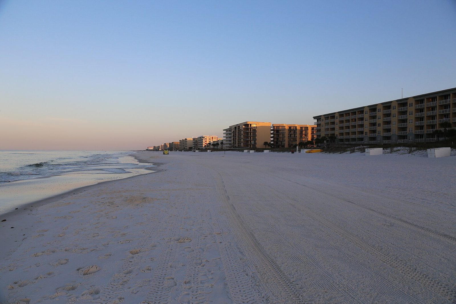
Marinas we dive · Fort Walton Beach
Fort Walton Beach Yacht Basin, and the water it lives in.
Downtown waterfrontIntracoastal WaterwayFort Walton Beach
Marinas we dive · Fort Walton Beach
The water
Fort Walton Beach Yacht Basin sits on the downtown waterfront at 104 Miracle Strip Parkway. It has 94 slips on fixed docks for boats to 50 feet.
It is about 6 miles west of East Pass in a straight line. Between the two, the Intracoastal Waterway runs behind Okaloosa Island toward Santa Rosa Sound.
That is protected water with a channel running through it. Traffic passes all day, but the tide arrives with little of the force it has at the pass.
Protected water behind a barrier island is easy to keep a boat in and easy for growth to settle in.
Fort Walton Beach Yacht Basin, Fort Walton BeachFort Walton Beach Yacht Basin lies about 6 miles west of East Pass in a straight line. It sits back from the inlet, and that distance is the single best predictor of how fast a hull fouls here.
At this distance tidal exchange has lost most of its force. Growth is mixed rather than dominated by one thing, and a basin holds its water longer than the channel outside it.
With 94 slips and only four set aside for transients, nearly every boat here is a resident. Resident boats on fixed docks are the easiest fleet to schedule well.
Timeline
A fishing captain from New London, Connecticut settles on the peninsula and begins working East Pass.
The settlement, known until then as East Pass, gets a post office and takes the name Destin.
A bridge over East Pass ties the fishing village to the rest of the coast by road.
The first Destin Fishing Rodeo is held to draw visitors in the slow season. It has run every October since.
The first condominiums go up, and the waterfront starts filling with pleasure boats alongside the working fleet.
The fishing village becomes a city.
Destin claims the largest fishing vessel fleet in Florida, and East Pass is dredged often to stay navigable.
Things worth knowing
Distance to the nearest inlet is the strongest single predictor of fouling rate. About 6 miles west of East Pass, this berth sits at the edge of its reach.
Fort Walton Beach, on the downtown waterfront at 104 Miracle Strip Pkwy SW, along the Intracoastal Waterway. Well within our regular run.
Growth on the Emerald Coast is not linear. Summer water drives the fastest growth of the year and winter slows it. A cadence set for August will be wrong in January.
Bare metal fouls faster than painted surface everywhere on this coast. Props, shafts and struts usually signal the timing before the paint does.
Dolphins, sea birds and grass beds share the Intracoastal Waterway. Method matters as much as schedule — media matched to the paint, and nothing scoured into the bottom.
Ninety-four slips on fixed docks, four of them transient, for boats to 50 feet, with nine feet on the approach and seven at the dock.
From the diver
West of East Pass the Intracoastal Waterway runs through The Narrows into Santa Rosa Sound. It is protected water behind the barrier island, with a steady stream of passing traffic and less tidal exchange than the pass itself.
Canals and basins off the sound are the slowest water of all. A no-wake canal is easy on lines and fenders, but a slip at the head of one turns over far less water than a slip on the open sound, and it fouls on a different clock.
Sheltered water rewards a steady cadence. Light, regular cleans keep the paint working and catch the running gear before growth starts costing fuel.
Gallery
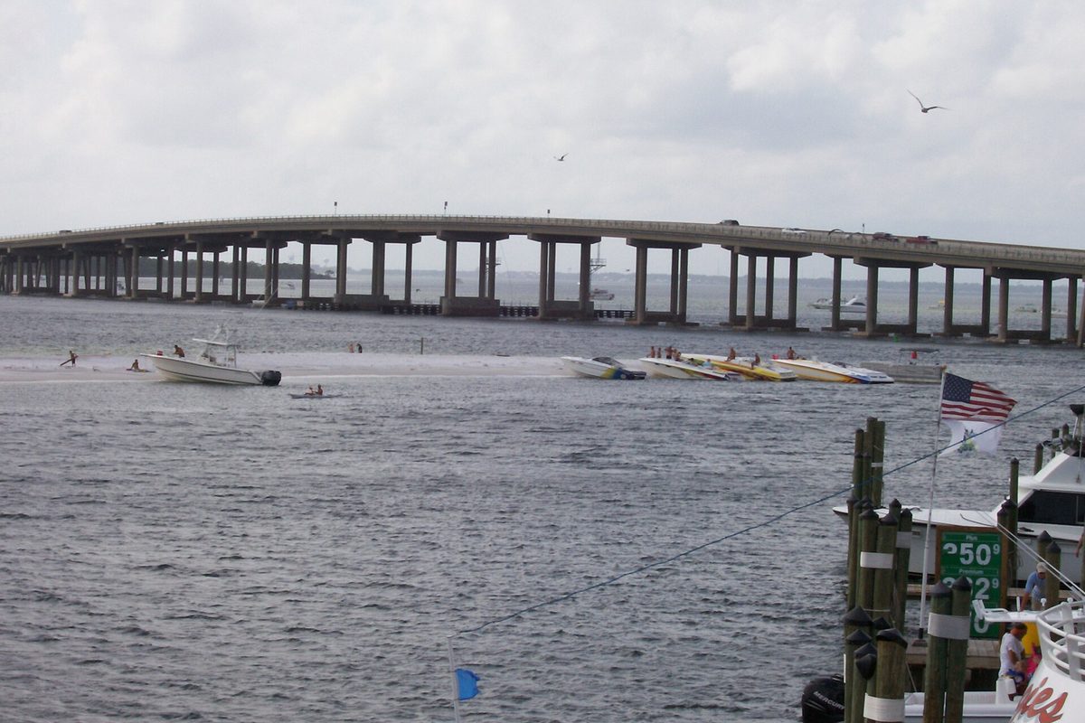
We dive the Intracoastal and know how it behaves through the season. Tell us the boat and the slip and we’ll send a number and a cadence that fits the water it actually sits in.